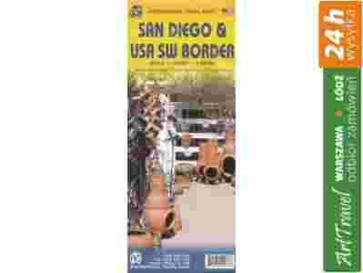
| San Diego i południwo-zachodnie wybrzeże USA mapa 1:15 000/1:1 390 000 ITMB / 978[zasłonięte][zasłonięte]34102 |
|
Informacje dodatkowe:
| Tytuł oryginalny |
San Diego i USA South West Border Travel Reference Map |
| Rodzaj produktu |
plan miasta |
| Wydawca |
ITMB |
| Skala |
1 1 390 000, 1:15 000 |
| Język |
angielski |
| Data wydania |
28-02-2013 |
| Oprawa |
miękka |
| Ilość stron |
2 |
| Wymiary / mm |
250 x 100 |
| Wymiary po rozłożeniu / mm |
1000 x 1400 |
| Waga / gr |
52 |
| Indeks |
ulic |
| ean |
978[zasłonięte][zasłonięte]34102 |
| ISBN |
[zasłonięte]978-1541-023-2 |
|
San Diego is one of the loveliest cities in America, situated just north of the Mexican border on a large harbour that makes it the principal military marine base on the Pacific Coast. The zoo in Balboa Park is justly famous, and the Old Town preservation preserve is wonderful to see. Downtown has been revitalized by many new developments, and anyone who hasn't taken the trolley to Tijuana has missed out on a wonderful experience (just remember to take your passport to get back into the USA). SD has also taken transit to heart as a way of easing unban congestion, so park your gas-guzzler and relax. As an added feature, we have developed a brand new map of the US/Mexican border areas, showing both sides for about a hundred miles on either side of the long border, as far as El Paso. All border crossings are shown, as well as attractions on either side of the border. Baja is shown as far south as Guerrero Negro, and 'mainland' Mexico as far south as Ciudad Obregon and Chihuahua. US centres include Las Vegas, Phoenix, Tucson, and the I-10 to east of El Paso. Borders are important, somewhat controversial realities. As is the case with the US/Canadian border, this one is militarily undefended, but strictly patrolled by enforcement agencies trying to control cross-border activity. Our purpose in showing the cross-border attractions in detail is to encourage peaceful and beneficial cultural enrichment. The current instability in Mexico seems to be coming to an end, so this map is a gesture of good faith in the future of two great countries.Legend Includes:
Roads by classification, Expressway, Major Road, Secondary Road, Accommodations, Churches, Museums, Police Stations, Hospitals, Gas Stations, Libraries, Banks and much more |
|
|