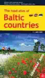
KRAJE BAŁTYCKIE
LITWA - ŁOTWA - ESTONIA - OBWÓD KALININGRADZKIATLAS SAMOCHODOWY NA SPIRALI w skali 1:400 000wydawnictwo : JANA SETA 
zawiera:
- 81 stron atlasu w skali 1:400 000
- plany 52 miast w skalach od 1:50 000 do 1:100 000
- plany miast takich jak Wilno, Ryga, Talinn w skali 1:20 000
- indeks nazw
- aktualne informacje drogowe i turystyczne
  In comparison with previous edition new one has a new, more detailed scale (previously it was 1:500 000), it is slightly larger and has laminated covers for longer usage time. Latvia, Estonia, Lithuania and region of Kaliningrad auto road maps is in scale 1:400 000 and divided in 81 pages. Atlas basemap is also supplemented with plans of 52 largest Baltic cities in scales from 1:50 000 to 1:100 000, as well as Riga, Tallinn and Vilnius plans are in scale 1:20 000. Reader will find Baltic sea region map in the introduction section, and place name index in the final section. Map legend and distance table between largest Baltic countries largest cities is to be found in the cover flaps.
 Authors have improved maps readability, updated information about auto roads, settlements, various service and tourism objects. The settlement plans have been fully revised (with particular attention to cities in Estonia and Lithuania), specifying street and building changes and service and tourism object locations. Authors have improved maps readability, updated information about auto roads, settlements, various service and tourism objects. The settlement plans have been fully revised (with particular attention to cities in Estonia and Lithuania), specifying street and building changes and service and tourism object locations.
|

